 |
|
PIDs=LK0774, LK0527 (NGS Datasheet)
Maps: [Sat] Google, Bing [Topo] Acme, Gmap4 MyTopo [Peaks] ListOfJohn, Summitpost
Photos: Flickr, Loc.alize.us, Bing, Google
Videos: Vimeo, Youtube
Weather: NWS Forecase, NOAA Snow Depth
Nearby POI: Opencaching.us, Waymarking.com
Nearby Highpoints:
68mi/109km - Mount Sunflower, KS
125mi/201km - Panorama Point, NE
218mi/351km - Black Mesa, OK
242mi/389km - Mount Elbert, CO
278mi/447km - Black Elk Peak (Harney Peak), SD
300mi/483km - Wheeler Peak, NM
Nearby Lowpoints:
2mi/3km - Arikaree River, CO
Nearby Tripoints:
126mi/202km - #12 CO-NE-WY
208mi/335km - #16 CO-KS-OK
214mi/344km - #14 CO-NM-OK
232mi/373km - #11 NE-SD-WY
247mi/398km - #15 NM-OK-TX
The Corner Corner: http://www.bjbsoftware.com/corners/pointdetail.php3?point=14
Wikipedia notes: Marked with a brass disc.
HPC Forum: #13 CO-KS-NE
Introduction - St Francis Area Chamber of Commerce This tri-point (1 of 4 Kansas tri-points) is located near St Francis, Kansas. The chamber of commerce describes this northwestern "Three Corners" tri-point and how to access it from the Kansas side here.
Trip Report - June 23, 1991 - Jack Parsell
 |
 |
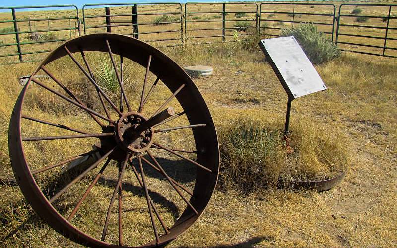
The mail box at the site contained information leaflets. The bronze plaque displays the following information:
THE CORNER COMMON TO NEBRASKA AND KANSAS ON THE COLORADO LINE The survey of the base line of the 6th principal meridian, which also marks the boundary between Nebraska and Kansas, was extended from the Alma, Nebraska area to the summit of the Rocky Mountains by Jarret Todd and James Withrow in 1859.
In 1869 Oliver N. Caffee [sic] surveyed the western boundary of Nebraska, and failing to locate the baseline, set the limestone monument 621.7 feet South of this position.
In 1872 John J. Majors surveyed the boundary between Kansas and Colorado, commencing at Chaffee's monument.
On June 15, 1873 Edwin Burwell intersected the baseline with Chaffee's state line and established the corner of Nebraska and Kansas on the Colorado line.
On October 17, 1990 the Bureau of Land Management re-monumented this tri-state corner.
In recognition of those early Surveyors, the skills they demonstrated and the hardships they endured, we dedicate this Plaque on June 1, 1991.
History of Tripoint and Trip Report - Fall, 1993 - Dale Sanderson
Dale Sanderson provides history on locating the tripoint at US Ends along with his trip report.
Trip Report - Sept 18, 2008 - Bill Wentzel
You can view the trip report at "The Trek Stop". It contains new driving directions.
Update - May 16, 2012 - Jimmy Emerson
Jimmy Emerson has several photos on Flickr with some descriptions. You can start with this one and the 12 following photos which show the Chaffee Monument and the true (1990) tri-point marker.