 |
|
PIDs=MY3729, MY3728 (NGS Datasheet)
Maps: [Sat] Google, Bing [Topo] Acme, Gmap4 MyTopo [Peaks] ListOfJohn, Summitpost
Photos: Flickr, Loc.alize.us, Bing, Google
Videos: Vimeo, Youtube
Weather: NWS Forecase, NOAA Snow Depth
Nearby POI: Opencaching.us, Waymarking.com
Nearby Highpoints:
11mi/18km - Jerimoth Hill, RI
82mi/132km - Mount Greylock, MA
86mi/139km - Mount Frissell-South Slope, CT
155mi/250km - High Point, NJ
158mi/255km - Mount Washington, NH
181mi/291km - Mount Marcy, NY
183mi/294km - Mount Mansfield, VT
245mi/395km - Ebright Azimuth, DE
305mi/491km - Mount Katahdin (Baxter Peak), ME
Nearby Lowpoints:
43mi/70km - Atlantic Ocean, RI
50mi/80km - Atlantic Ocean, MA
76mi/122km - Long Island Sound, CT
91mi/146km - Atlantic Ocean, NH
138mi/222km - Atlantic Ocean, NY
156mi/251km - Atlantic Ocean, NJ
190mi/306km - Lake Champlain, VT
243mi/391km - Delaware River, PA
267mi/429km - Atlantic Ocean, ME
281mi/452km - Atlantic Ocean, DE
309mi/497km - Atlantic Ocean, MD
Nearby Tripoints:
49mi/79km - #74 CT-NY-RI
60mi/97km - #37 MA-NH-VT
87mi/140km - #35 CT-MA-NY
91mi/146km - #36 MA-NY-VT
156mi/251km - #34 NJ-NY-PA
208mi/335km - #116 NH-QC-VT
221mi/356km - #115 NY-QC-VT
231mi/371km - #117 ME-NH-QC
242mi/390km - #73 DE-NJ-PA
252mi/406km - #114 NY-ON-QC
262mi/421km - #33 DE-MD-PA
The Corner Corner: http://www.bjbsoftware.com/corners/pointdetail.php3?point=20
HPC Forum: #38 CT-MA-RI
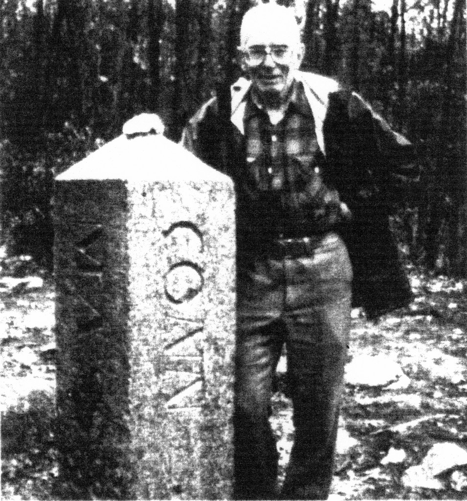
Trip Report - Nov 1, 1991 - Jack Parsell
 ACCESS ROUTE: From E. Thompson, CT, the best route to this tri-point is via the old Putnam, CT to Blackstone, MA railroad grade. After about 1/4 mile you will pass under a wooden trestle carrying an old farm road over the RR bed. Proceed another 1/4 mile on the elevated RR bed across wetlands to where the RR bed regains the natural grade of the area. At this point turn south (R) on a fairly distinct trail. After 1/4 mile on this trail another trail comes in from the west. Continue south for another 25 yards, then tum sharp left (E) and follow the trail up the steep hillside to the engraved stone post which marks the Tri-State comer. About 35 ft SW of the monument is a USGS survey marker set in the bed rock. Two witness markers were found, one in CT and one in MA.
There are several other possible routes to this tri-point, but this route, sent to me by Timothy Sheehan of Farmington, CT, is the shortest and easiest way to the comer. I have been there by two different routes, both of which were more difficult to follow than this one. Anyone interested in trying still another route might look into going in from the Buck Hill Wildlife Management Area in the extreme NW comer of Rhode Island
Trip Report - ??? - Brian J Butler
You can view the trip report at The Corner Corner.
Trip Report - June 3, 2011 - Steve @ CTMQ
You can view the detailed trip report at CTMQ.
Update - Sept, 2015 - Frank Sutman
[railroad grade has become Air Line Trail]: From E. Thompson, CT, the best route to this tri-point is via the old Putnam, CT to Blackstone, MA railroad grade. This is the now the Air Line Trail, a graded gravel path. Park in E. Thompson, and follow the Air Line Trail railroad grade east. [Ed: continue with Jack's original description now].