 |
|
PIDs=LY2604, LY2611 (NGS Datasheet)
Maps: [Sat] Google, Bing [Topo] Acme, Gmap4 MyTopo [Peaks] ListOfJohn, Summitpost
Photos: Flickr, Loc.alize.us, Bing, Google
Videos: Vimeo, Youtube
Weather: NWS Forecase, NOAA Snow Depth
Nearby POI: Opencaching.us, Waymarking.com
Nearby Highpoints:
3mi/5km - High Point, NJ
79mi/127km - Mount Frissell-South Slope, CT
114mi/183km - Ebright Azimuth, DE
118mi/190km - Mount Greylock, MA
155mi/249km - Jerimoth Hill, RI
194mi/313km - Mount Marcy, NY
208mi/335km - Point Reno, DC
240mi/386km - Mount Mansfield, VT
259mi/417km - Mount Davis, PA
265mi/426km - Mount Washington, NH
299mi/481km - Backbone Mountain (Hoye Crest), MD
Nearby Lowpoints:
70mi/113km - Atlantic Ocean, NJ
76mi/122km - Atlantic Ocean, NY
93mi/149km - Long Island Sound, CT
114mi/183km - Delaware River, PA
168mi/271km - Atlantic Ocean, RI
178mi/286km - Atlantic Ocean, DE
204mi/329km - Atlantic Ocean, MA
211mi/340km - Atlantic Ocean, MD
213mi/342km - Potomac River, WV
215mi/346km - Potomac River (MD), DC
235mi/378km - Lake Champlain, VT
235mi/378km - Atlantic Ocean, NH
Nearby Tripoints:
78mi/126km - #35 CT-MA-NY
114mi/183km - #73 DE-NJ-PA
121mi/194km - #36 MA-NY-VT
127mi/204km - #33 DE-MD-PA
145mi/233km - #74 CT-NY-RI
149mi/239km - #37 MA-NH-VT
156mi/251km - #38 CT-MA-RI
211mi/339km - #32.1 DC-MD-VA (North)
213mi/342km - #31 MD-VA-WV
216mi/348km - #32.2 DC-MD-VA (South)
252mi/406km - #114 NY-ON-QC
262mi/421km - #115 NY-QC-VT
272mi/438km - #113 NY-ON-PA
275mi/443km - #30 MD-PA-WV
300mi/482km - #116 NH-QC-VT
307mi/494km - #112 OH-ON-PA
308mi/495km - #72 OH-PA-WV
The Corner Corner: http://www.bjbsoftware.com/corners/pointdetail.php3?point=63
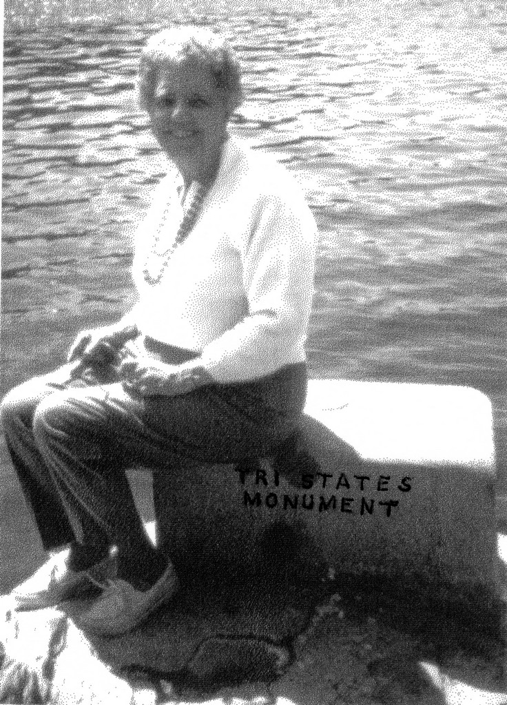
Wikipedia notes: Marked by the Tri-State Monument in Port Jervis NY by the confluence of the Delaware and Neversink Rivers.
HPC Forum: #34 NJ-NY-PA
Newsletter index:
• #86-09q3 p26 [canoers] NJ-NY-PA photo
Trip Report - April 24, 1994 - Jack Parsell
 |
 |
The inscription on the NJ side of the 1882 monument is as follows: "SOUTH 64° WEST 72 1/4 FEET FROM THIS IS THE TRl STATE ROCK WHICH IS THE NORTHWEST END OF THE NEW YORK AND NEW JERSEY BOUNDARY, AND THE NORTH END OF THE NEW JERSEY AND PENNSYLVANIA BOUNDARY". On the NY side it says, "THE CORNER BETWEEN NEW YORK AND PENNSYLVANIA IS IN THE CENTER OF THE DELAWARE RIVER 475 FEET DUE WEST OF THE TRISTATE ROCK".
Trip Report - Nov 6, 1997 - Brian J Butler
You can view the trip report at The Corner Corner.
Note on Land vs Water - June 17, 2017 - Michael Schwartz and Mike Donner
This tri-point is wet, not dry. Check the boundaries on the aerial photos and current non-topo maps and see the tri-point clearly in the water. The tri-state rock near water's edge, which shows the supposed boundaries of the three states at their junction, is simply not at the tri-state point. Some years ago, during extreme low-water, I walked out to the tri-state point, using GPS, and it was quite a few feet from the tri-state rock.