 |
|
Maps: [Sat] Google, Bing [Topo] Acme, Gmap4 MyTopo [Peaks] ListOfJohn, Summitpost
Photos: Flickr, Loc.alize.us, Bing, Google
Videos: Vimeo, Youtube
Weather: NWS Forecase, NOAA Snow Depth
Nearby POI: Opencaching.us, Waymarking.com
Nearby Highpoints:
77mi/124km - Granite Peak, MT
113mi/182km - Gannett Peak, WY
137mi/220km - Borah Peak, ID
258mi/415km - Kings Peak, UT
Nearby Tripoints:
171mi/275km - #6 ID-UT-WY
228mi/367km - #3 ID-NV-UT
261mi/420km - #7 CO-UT-WY
304mi/489km - #51 ID-OR-WA
The Corner Corner: http://www.bjbsoftware.com/corners/pointdetail.php3?point=34
Wikipedia notes: Located with Yellowstone National Park. Marked although difficult to access.
HPC Forum: #5 ID-MT-WY
Newsletter index:
• #69-05q2 p25 [Bob Whitney] ID-MT-WY extensive notes and coords
• #96-12q1 p26 [Bob Whitney] ID-MT-WY notes
Trip Report - July 29, 1997 - Jack Parsell
 |
 |
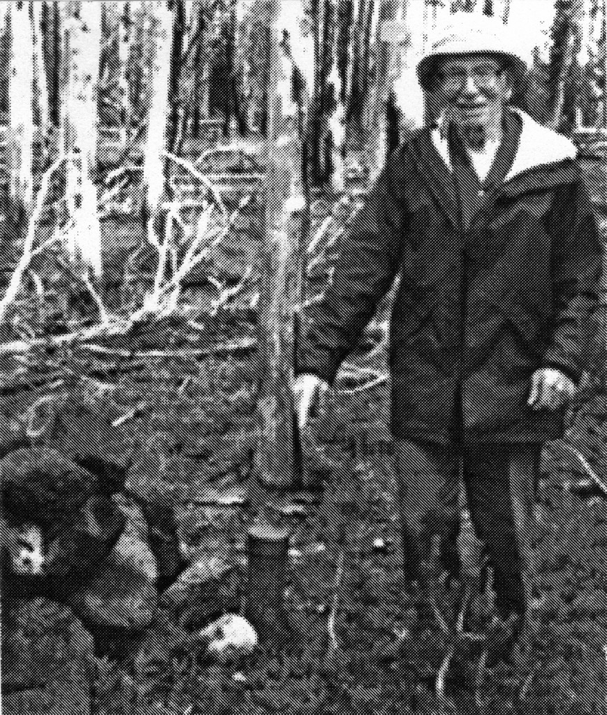
The 1874 survey of the ID- WY meridian boundary set a marker post at the assumed crest of the Continental Divide. A 1906 survey found the 1874 mark 6 miles too far north and replaced it with the marker at the present location.
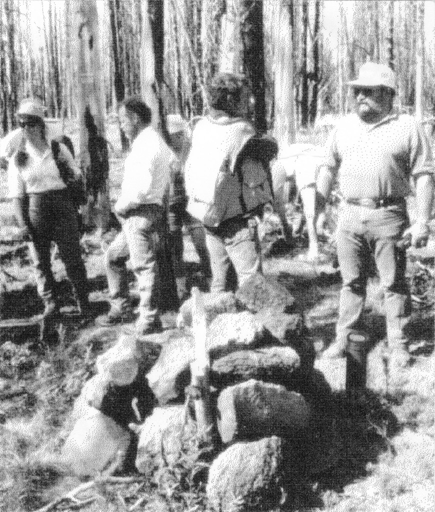
This area was in the North Fork fire area, one of many parts of Yellowstone Park and the surrounding National Forest which burned in the devastating fires during the summer of 1988. The North Fork fire was very intense and destroyed the soil, so there are large areas with little regeneration yet, except for scattered patches of wild flowers, grasses along the stream, a few new trees and occasional trees which survived the fires. Travel is very difficult because of the large number of downed, partially burned trees criss-crossed on the ground.
From West Yellowstone, go W and S on US20 to Island Park Ranger Station. Check with the rangers for changes in the route and location of gates on the access road. Because of many road closures, the only possible route is via Forest Road 066. From Macks Inn on US 20, 6 miles N of the Ranger Station, go E 4.8 miles to Big Springs. At 0.9 mile beyond the Big Springs bridge turn R on FR 066. Proceed on 066 for 12 miles to a locked gate. Park and continue on foot for 3.8 miles to where the road crosses Thirsty Creek on a sharp bend in the road. At this point the coordinates are N 44° 28.3', W 111o 06.0' at elevation about 7860 feet. Note that closure of another gate 2.5 miles farther NW may be implemented later in 1997, thus involving a hike of 6.3 miles to the Thirsty Creek crossing. Bicycles are allowed but no motorized vehicles.
The route Clark Hall and I took from 066 was up Thirsty Creek on its N side to the fourth drainage coming in on that side. Normally Thirsty is dry by mid-summer, but in 1997 it had a lot of water in it. However, all the side drainages were dry. Hike up the fourth drainage to the plateau above. Then proceed at approx. 80° true to the marker. While this may be done by compass, it is much easier with a GPS navigation unit. Just be sure you know how to use your GPS and have extra batteries so your unit won't go dead before you get back out to the road. Distance from 066 to the tri-point according to the GPS (straight line) is 2.37 miles, but actual hiking distance is probably closer to 4 miles. No permit is needed for day trips but is required for overnight camping in the National Park. Take plenty of water since above Thirsty Creek there is little water.
Update - July, 2003 - Jack Parsell
The Northern access on route 066 is closed at the first gate now, making it 8.6 miles from there to the Thirsty Creek Bridge. Bob Whitney and Penn Watson accessed 066 from the South now that that section of the road is open. Contact Bob for route details.
Update - ??? - Brian J Butler
You can view the update at The Corner Corner.
Update - Summer, 2006 - Bob Whitney
[Ed: also published in #69-05q2-p25].
The most important tip is to use the Messick coordinates provided in Jack's text which, after converting seconds to fractious of minutes, are N 44/23.538 and W 111/03.144. On our first trip we ignored these coordinates and couldn't locate the tripoint. On our second trip our GPS's led us to within 10 feet of the tripoint cairn and told us that the Merssick coordinates are 0.21 miles removed from the coordinates provided by Jack. Jack mentions the possibility of an additional gate being closed and this has occurred since his visit. We found two approaches which, now that the gate has been added, result in shorter mileages than his suggested route.
One approach involves walking to Thirsty Creek on FS 066 from the south rather from the north as Jack did. This reduces the length of the hike by about I.5 miles each way compared to Jack's route. To use this approach take the Springs Loop Rd (FS 059) east from Macks Inn. After 3.1 miles, turn right on FS 082. After 7.8 miles find a highly barricaded (against snowmobiles) road leading up a hill. This road appears as a faint line on the Caribou-Torghee National Forest travel map. After about 1.5 miles this road joins a road marked as FS 066. Follow FS 066 3.3 miles to Thirsty Creek, arriving in the opposite direction from Jack's approach. Frank and I followed Jack's suggestion of going upstream on Thirst Creek to the "fourth drainage". The coordinates for this junction are N 44/28.282 and W 111/05.133. We took slightly different routes from that junction to the marker and back relying on our GPS's for navigation.
A second approach, that Frank and I tend to prefer, is to come in from West Yellowstone. Take Iris Rd south about 14 miles~ in route 14 as shown on the Gallatin National Forest map. When the road ahead is blocked by a gate, park and walk past the gate (ignore the ungated road to the right). Walk about 2 miles on a good road. Where this road makes a very sharp turn, continue essentially straight ahead into a gully/canyon. Frank and I left this gully less than a mile after crossing into Yellowstone National Park and went in on as straight a line as possible, as directed by a GPS. With hindsight, it may be better to stay in this gully to the point where it is roughly a mile to the tripoint. Even though the gully zigs and zags, it generally has fewer fallen trees (a delayed result of the massive fire of 1988) to step over than on the ridges above. This route would take 15 or 16 miles round trip from where you park, depending on how long one stays in the gully. Frank Sangent may be interested in accompanying someone on the "extended gully" alternative.
A final comment, regardless of which approach, the fallen trees are very dense in places and can be troublesome to step over.
Trip Report - Aug 4, 2005 - Greg Weiler
Bill Wentzel has an update provided by Greg Weiler at The Trek Stop. [Ed: Because the blog images obscure some of the text, it is quoted here. See the blog post for additional photos.]
Jean & I finally bagged this one on 4Aug05. As Jack Parsell said, this is a difficult site to reach. Also, we referred to Bob Whitney's suggested route (Apex to Zenith #69 - Second Quarter 2005) and found the barricaded road, almost completely overgrown. Two miles further, we came to a gated road on the left which appeared to be the beginning of Black Canyon Loop FR066. Bob had e-mailed me input on this alternate southern route but, since we attempted this 3Pt 2 years earlier, we opted for Jack's northern approach, more familiar to us.Past Big Springs, ID, we located FR066 and followed it 9mi to the gate. From our previous exploration, we knew to reserve bicycles in West Yellowstone where the renters tied them to the back of our also rented Chevy Malibu. At 930AM we began pedaling FR066 - not steep, but long, gradual upgrades for aprx. 6mi. - calling for a pair of hardy legs. We reached the Big Thirsty trail head at 1020AM when we went on foot and headed toward the "4th drainage ditch."
For 90min we had to continually skirt around dead trees. Once in the ditch, even more of these obstacles blocked our path. After an hour we decided to climb out and just straight line it to the TP using the GPS. More dead, burned trees were encountered for the next 1 1/2hr until, at 145PM, we spotted the yellow bearing tree signs and, just beyond, the cairn TP post. The GPS had led us directly to it! The day ended at 830PM when we reached our motel and went horizontal. Ahhhh....
Note: This Yellowstone NP area is very isolated and desolate with standing and fallen burned trees that offer no reference. Be prepared for a min. 6-8hr hike (gwhiker@ix.netcom.com).