 |
|
PIDs=AA3685, NW0322, MU0449, MU0450, NW0323, NW0324 (NGS Datasheet)
Maps: [Sat] Google, Bing [Topo] Acme, Gmap4 MyTopo [Peaks] ListOfJohn, Summitpost
Photos: Flickr, Loc.alize.us, Bing, Google
Videos: Vimeo, Youtube
Weather: NWS Forecase, NOAA Snow Depth
Nearby POI: Opencaching.us, Waymarking.com
Nearby Highpoints:
221mi/355km - Borah Peak, ID
295mi/475km - Boundary Peak, NV
Nearby Lowpoints:
306mi/492km - Snake River, ID
Nearby Tripoints:
153mi/246km - #1 CA-NV-OR
153mi/247km - #3 ID-NV-UT
276mi/444km - #51 ID-OR-WA
307mi/494km - #6 ID-UT-WY
The Corner Corner: http://www.bjbsoftware.com/corners/pointdetail.php3?point=35
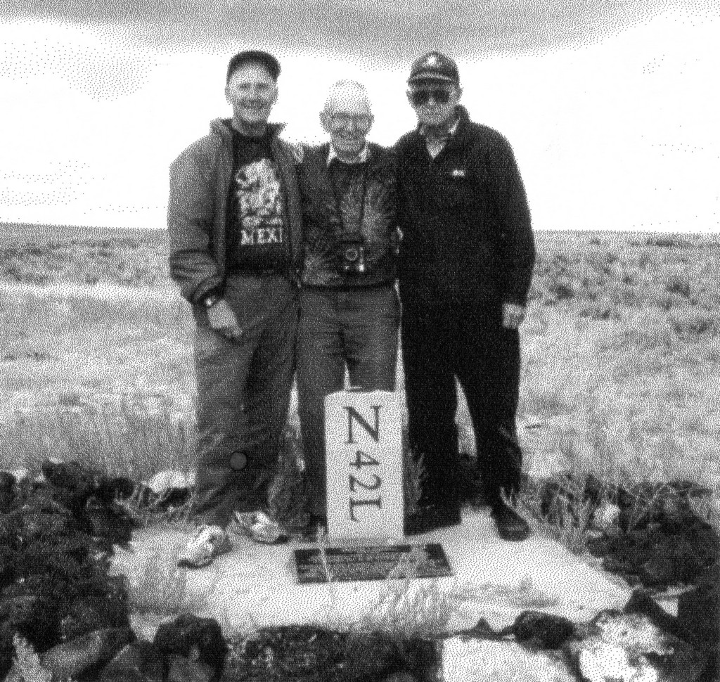
Wikipedia notes: Marked with a three-sided stone inscribed with N-I-O on the respective faces.
HPC Forum: #2 ID-NV-OR
Newsletter index:
• #69-05q2 p25 [Bob Whitney] ID-NV-OR notes
• #96-12q1 p26 [Bob Whitney] ID-NV-OR notes
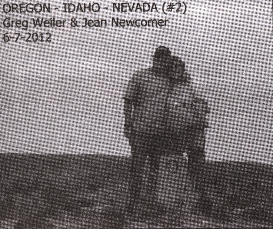
• #99-12q4 p20 [Greg Weiler, Jean Newcomber] OR-ID-NV extensive notes and photo
Trip Report - Oct 26, 1995 - Jack Parsell
 ACCESS ROUTE: This is the most remote of all the tri-points. Access is from Winnemucca, NV via either Paradise Valley or McDermott. We went in from Paradise Valley and returned via McDermott Indian Reservation. A high clearance vehicle is required, and for a few sections of the road a 4WD is advisable. Since it is over 200 miles round trip from Winnemucca, a full day should be planned for the trip.
From Winnemucca, drive 40 miles N to Paradise Valley. Continue E and N on gravel and dirt roads 49 miles to a signed junction. Turn E and proceed on a poor road about 16 miles to the Nevada- Oregon fence line. Then turn right, and follow a very rough jeep track along the fence on the Oregon side, for about another mile to the tri-state monument which is on the Oregon side of the fence line.
The McDermott route leaves US 95 approximately 70 miles N of Winnemucca and 3.8 miles S of the Oregon line. Heading E you will cross the Indian Reservation and follow up the Quinn River valley. At about 23 miles from US 95 you will come to the signed junction mentioned above. From that point follow the directions already given.
Since this is a very sparsely traveled area it is advisable to be prepared for camping out in the event of vehicle problems. The best location for renting a 4WD pickup is the GMC dealer, Bosch Motors, 1205 E. Winnemucca Blvd., Winnemucca, NV, 89445.
The sign below the monument is:
This monument marks the point established by Daniel G. Majors, U.S. Astronomer and Surveyor in December 1867, on the 42nd parallel north.Update - Summer, 2006 - Bob WhitneyAs determined from numerous observations of the stars for latitude this point is 124 miles, 17 chains and 2 links distance south of the initial point which was determined at the confluence of the Owyhee River with the Snake River.
This position identifies the southwest corner of Idaho, the southeast corner of Oregon and the north boundary of Nevada.
Note the N is for Nevada. The other two faces of the triangular marker are marked O and I.
[Ed: also published in #69-05q2-p25].
The road in from the McDermott Indian Reservation definitely warrants using a 4WD vehicle. After our visit, I looked at a Nevada gazetteer and the coding for the roads going through Paradise Valley suggest a 4WD is not needed. That is certainly the case from where these two routes merge, until you reach the "poor road" along the NV/OR fence line.
Newsletter - #99-12q4-p20 - Greg Weiler, Jean Newcomer
 Although this is the most remote of all tripoints it's fairly easy to get to, if you know the route. We had a Garmin GPS unit in the car and the route actually appeared in the database once we programmed in the coordinates. In our opinion a 4WD high clearance vehicle is required.
We took the McDermitt route through the Indian Reservation and had 3 stream crossings to contend with before the signed intersection Jack Parsell mentions, the longest one about 100' and no deeper than about a foot. After the intersection the turn-off for the final 15 or so miles is over a deeply rutted road in spots and one steep dry creek crossing.
The total round trip mileage from Rt 95 in the center of Winnemucca is 222.6 mi. From Rt 95 and South Road at the entrance to the reservation the round trip mileage is 81.2, about 70 of it on dirt & gravel roads. The distances from Rt 95 and South Road are:
- 6.7 - End of paved road through reservation, begin NFS083
- 12.1 - Largest stream crossing
- 23.7 - Signed intersection
- 24.5 - Bear right onto last 15-mile leg
- 39.6 - NV-OR fence line/gate
We rented a Jeep Liberty in Reno, not being able to find Bosch Motors in Winnemucca. The only rental agent there is Hertz and they wanted $109 plus tax per day for a Rav 4 4WD. The Liberty cost $341 for 2 weeks.
We saw no other people or vehicles after passing through the reservation. As a precaution we called the Humboldt Co Police in Winemucca and notified them of our intentions. We were out of cell phone range soon after leaving the reservation.