 |
|
PIDs=AA2139, PV0446 (NGS Datasheet)
Maps: [Sat] Google, Bing [Topo] Acme, Gmap4 MyTopo [Peaks] ListOfJohn, Summitpost
Photos: Flickr, Loc.alize.us, Bing, Google
Videos: Vimeo, Youtube
Weather: NWS Forecase, NOAA Snow Depth
Nearby POI: Opencaching.us, Waymarking.com
Nearby Highpoints:
83mi/133km - Black Elk Peak (Harney Peak), SD
103mi/165km - White Butte, ND
276mi/444km - Panorama Point, NE
281mi/452km - Granite Peak, MT
304mi/490km - Gannett Peak, WY
Nearby Lowpoints:
17mi/28km - Bell Forche River, WY
Nearby Tripoints:
65mi/105km - #9 MT-ND-SD
138mi/222km - #11 NE-SD-WY
276mi/444km - #12 CO-NE-WY
277mi/445km - #106 MT-ND-SK
304mi/490km - #107 MB-ND-SK
The Corner Corner: http://www.bjbsoftware.com/corners/pointdetail.php3?point=60
Wikipedia notes: Marked with a stone within a fence.
HPC Forum: #10 MT-SD-WY
Newsletter index:
• #69-05q2 p25 [Bob Whitney] MT-SD-WY notes
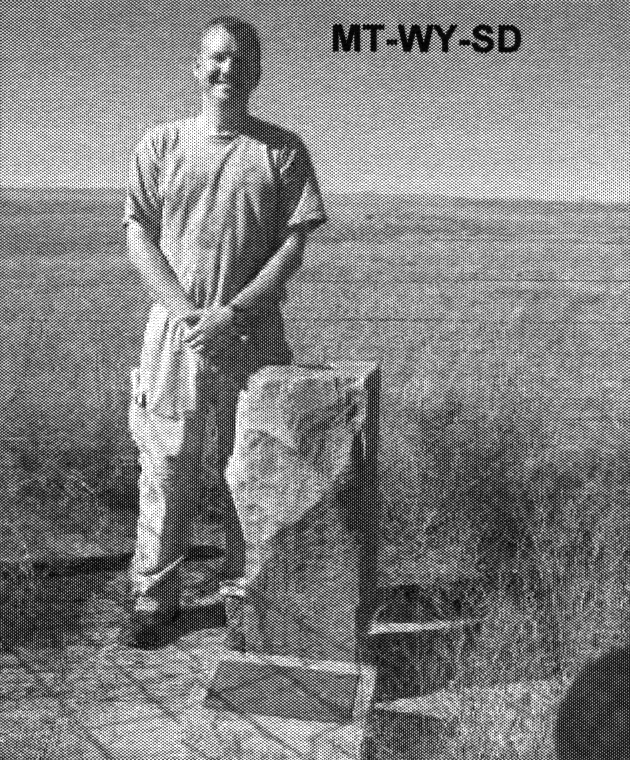
• #107-14q4 p38 [Jim Wright] MT-SD-WY updates and photo
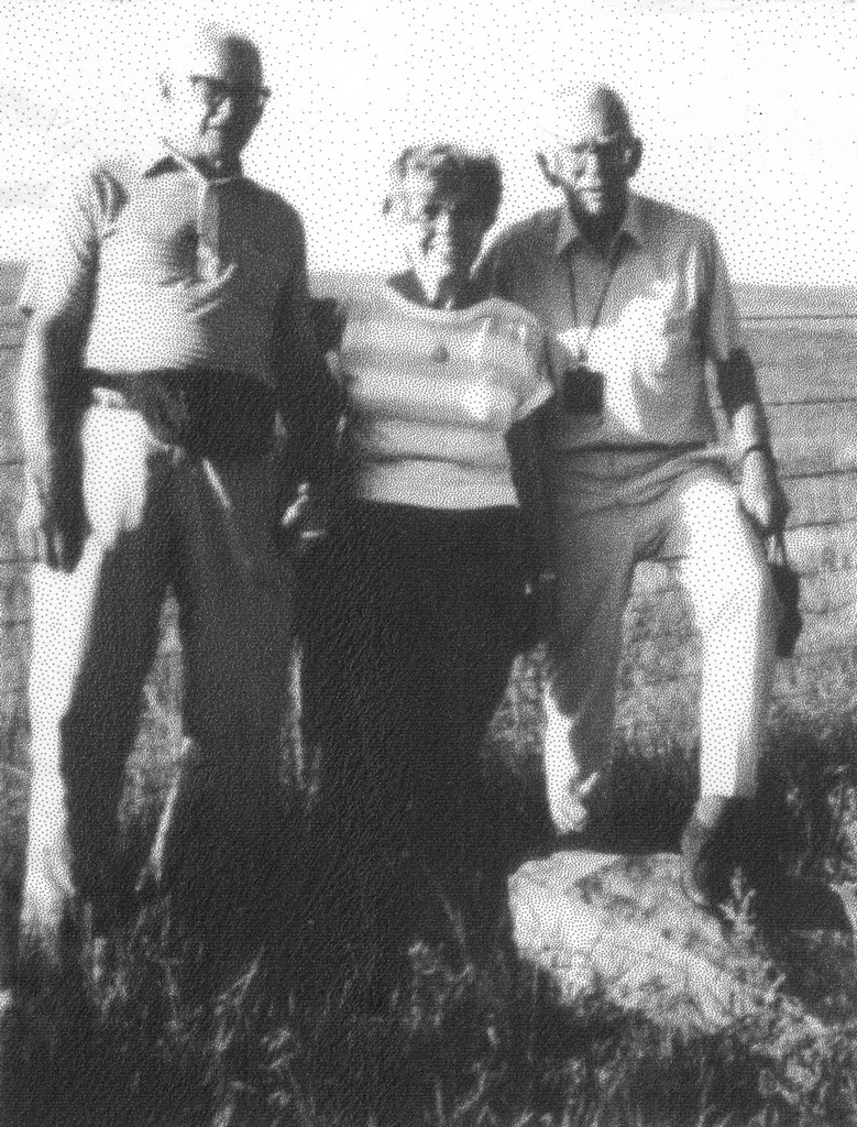
Trip Report - June 24, 1991 - Jack Parsell
 |
 |
 |
Note that the NE corner of WY and the SE comer of MT do not coincide. The 27th meridian survey from the south brought the line up 23.3 seconds too far west. The survey south from the Canadian border brought the line 41.6 seconds too far east at the same latitude. The combined error is 70.68 chains or about 0.88 mile. The original 1877 marker was replaced in 1904 by a stone post. When we were there the post was found to be tipped over. This was subsequently repaired, and a joint dedication ceremony was held on July 16, 1994 for the tri-point and also for the monument at the Southeast corner of Montana.
The dedication ceremony highlights included: history of the Dakota - Wyoming boundary survey; history of the Dakota - Montana boundary survey; signing of the field notes and plat; history of settlement in the area; and the importance of boundary identification and land tenure system.
Update - Summer, 2006 - Bob Whitney
[Ed: also published in #69-05q2-p25].
The walk-in gate and road mentioned by Jack are a little difficult to see from the road. It is slightly easier to park by the County Line sign at the MT/SD line, open the gate there and walk along the MT/SD fence line.
Update - July, 2007 - Greg Weiler
Coordinates: N44d 59.857m, W104d 03.462m, elev. 3422 ft
Date Visited: June 24, 1991; Revised July 2007
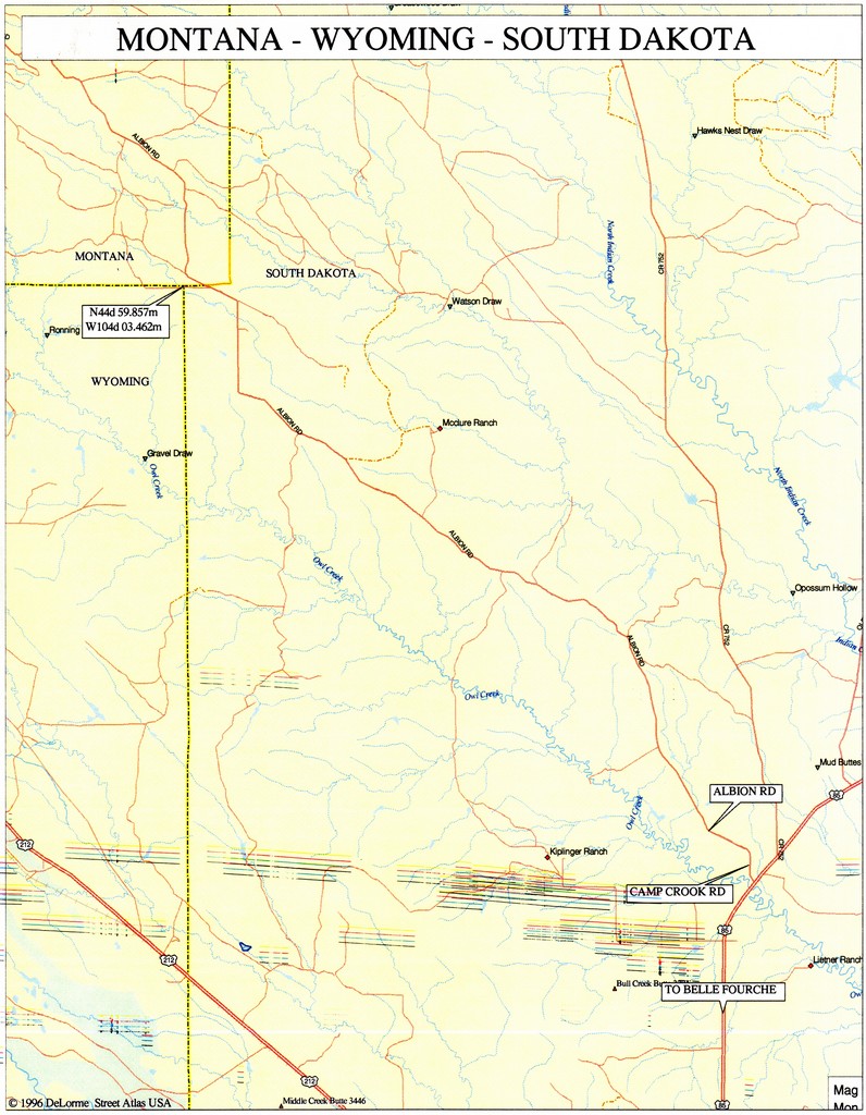
Access Route: From Belle Fourche, SD at the intersection of us 212 and US 85, go N on US 85 11.9 miles to gravel Camp Crook Road on the L, which is around the first bend in US 85 and across Owl Creek. After 2.5 miles turn left (W) onto gravel Albion Road. Continue NW about 13 miles to where the road turns due N. Continue albout 1.8 miles N and then about 0.4 miles NW to a gate on the left just before reaching the MT-SD line at a fence line. Park across from the county line sign and hike along the fence line 0.5 miles W to the tri-state monument.
There are 3 reference marks flush with the ground at 19.8 ft (6m} from the monument, one in each state. Note that the NE comer of WY and the SE comer of MT do not coincide. The 27th meridian survey from the S brought the line up 23.3 sec too far W. The survey S from the Canadian border brought the line 41.6 sec too far E at the same latitude. The combined error is 70.68 chains or 0.8835 miles. The original 1877 marker was replaced by a stone post in 1904. At the 1991 visit the post was found to be tipped over. It was subsequently repaired and a joint dedication ceremony was held July 16, 1994 for the tri-point and also for the monument at the SE comer of MT.
Newsletter - #107-14q4-p38 - Jim Wright
 In Jack Parsell's instructions, he states to turn L off US-85 "around the first bend" north of Belle Fourche. My GPS unit called the road "Camp Crook Road" but there weren't any street signs at the intersection. Drive north 2.5 miles on Camp Crook Road then turn left onto Albion Road (marked) and drive 14.1 miles to the Montana state line. At the state line, there is a small parking area to the left. In dry weather, you could probably drive back to the tripoint, but it's an easy third of a mile hike along a fence from the parking area. The tripoint is surrounded by fence to protect it from cattle and the gate into the tripoint is on the South Dakota side of the fence, so I had to climb the fence to get to the tripoint.