 |
|
PIDs=GG0683, GG0688, GG0689 (NGS Datasheet)
Maps: [Sat] Google, Bing [Topo] Acme, Gmap4 MyTopo [Peaks] ListOfJohn, Summitpost
Photos: Flickr, Loc.alize.us, Bing, Google
Videos: Vimeo, Youtube
Weather: NWS Forecase, NOAA Snow Depth
Nearby POI: Opencaching.us, Waymarking.com
Nearby Highpoints:
138mi/222km - Magazine Mountain (Signal Hill), AR
217mi/350km - Taum Sauk Mountain, MO
Nearby Lowpoints:
53mi/86km - Verdigris River, KS
211mi/339km - Missouri River, NE
211mi/340km - Little River, OK
245mi/395km - Saint Francis River, MO
278mi/448km - Mississippi River, TN
290mi/467km - Mississippi River, IA
290mi/467km - Mississippi River, KY
303mi/487km - Mississippi River, IL
Nearby Tripoints:
34mi/55km - #20 AR-MO-OK
211mi/339km - #55 KS-MO-NE
232mi/374km - #56 AR-OK-TX
255mi/411km - #54 IA-MO-NE
277mi/446km - #21 AR-LA-TX
278mi/447km - #64 AR-MS-TN
280mi/450km - #63 AR-MO-TN
283mi/456km - #62.1 KY-MO-TN (West)
286mi/461km - #62.2 KY-MO-TN (Middle)
290mi/467km - #62.3 KY-MO-TN (East)
290mi/467km - #60 IL-IA-MO
303mi/487km - #61 IL-KY-MO
The Corner Corner: http://www.bjbsoftware.com/corners/pointdetail.php3?point=46
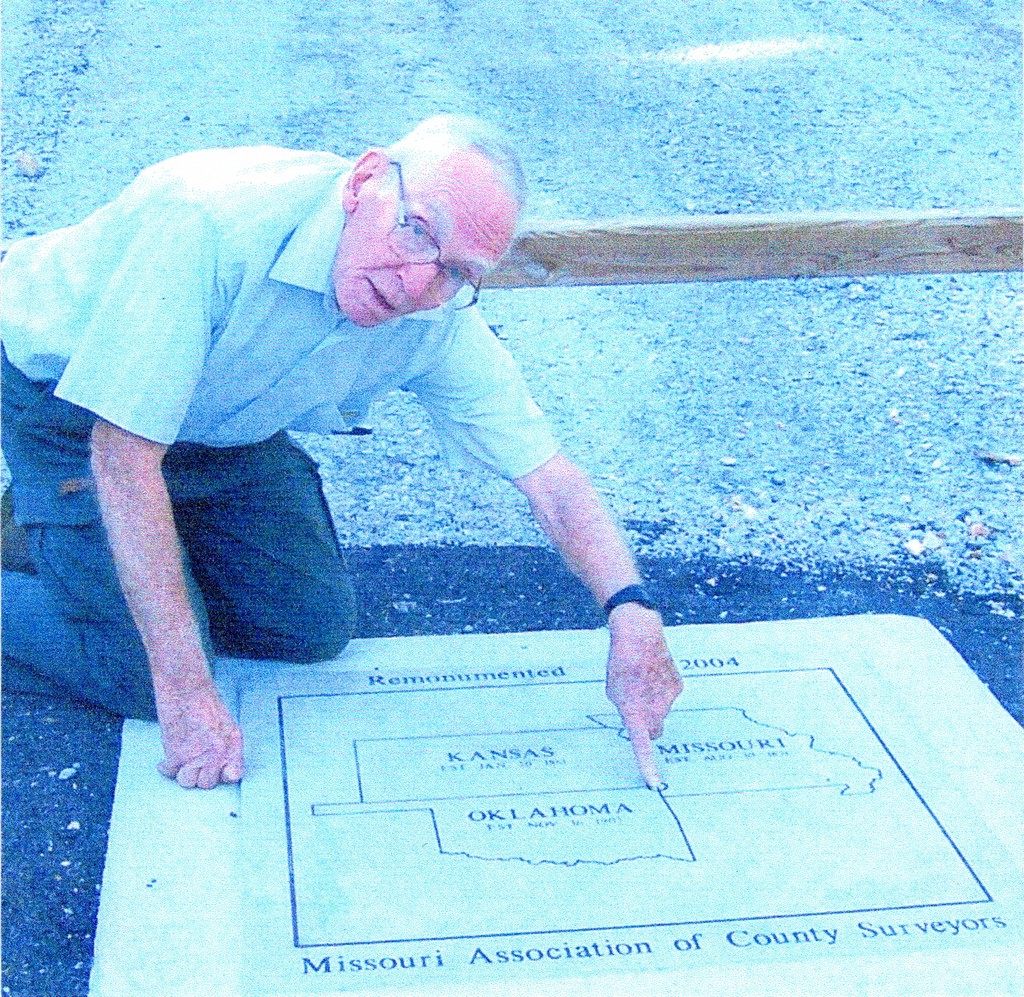
Wikipedia notes: Marked with a plaque on a seldom used dead-end road.
Wiki article: Tri-State_Marker
HPC Forum: #19 KS-MO-OK
Newsletter index:
• #83-08q4 p8 [Bill Wentzel] KS-MO-OK directions
• #91-10q4 p27 [Greg Weiler] KS-MO-OK new monument with directions and photo
• #101-13q2 p4 [Jim Wright] KS-MO-OK notes with photos
Trip Report - June 21, 1991 - Jack Parsell
 ACCESS ROUTE: From Interstate 44 in Missouri, get off at the exit for US 166. Go NW on US 166 a little over 1/2 mile. Just before entering Kansas, turn sharp L and go S on SE 118th St., a dead-end road, on the KS - MO line, for about 0.3 mile to a large stone cairn on the KS - OK side of the road. A brass pin in the center of the broken up pavement, near the cairn is presumed to be the actual tri-point. However, the most recent report (June 2000) from this site is that the pin is missing, leaving only a large pothole at the spot where the pin was presumed to be.
The name of the Territory of Louisiana was changed in 1812 to Territory of Missouri. At that time the Territory included all of the original Louisiana Purchase except the State of Louisiana. Missouri became a State on Aug 10, 1821. The western boundary of MO was established to be the meridian that passes through the middle of the mouth of the Kansas River where it enters the Missouri River. This was surveyed in 1823, resurveyed and marked in 1844-45. The KS - OK boundary was surveyed in 1857 on the 37th parallel.
Update - June 12, 2000 - Richard L Carey
You can view the trip report at Peakbagging
Update - July 13, 2005 - Brian J Butler
You can view the trip report at The Corner Corner.
Update - Aug 30, 2008 - Bill Wentzel
You can view the trip report at The Trek Stop where he gives detailed/updated driving directions.
Update - Sept, 2014 - Frank Sutman
[notes on pin/plaque marker]: The tri-point plaque is in the center of the road. Note the bison on the property to the right as you drive towards the highpoint.