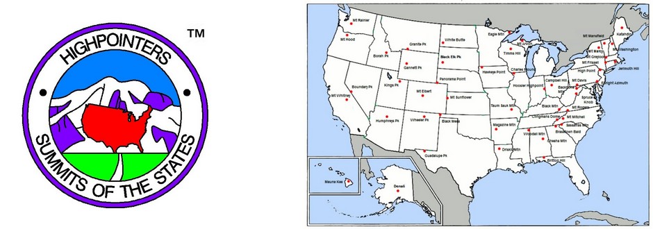
The list of state highpoints that is recognized by the Highpointers Club appears in the “US State Guide“.
This list appears in a document titled “Elevations and Distances in the United States” published by the United States Geological Survey. It can be viewed at http://pubs.er.usgs.gov/publication/70048223.
Over the years, the USGS list of names and elevations of each highpoint reflects the many changes through the history of this country. The original author of this list no longer provides updates, however, the USGS continues to publish it.
For example, one deviation from the USGS list is the name of Indiana’s highpoint. The USGS uses “Hoosier Hill,” however, the Indiana legislature issued a proclamation that the official name be “Hoosier High Point.” So in this case, we defer to the recent local law.
Also, the USGS lists 4 territories, but not the Commonwealth of the Northern Marianas. In 2014, the Board approved recognition of Agrihan as the CNMI highpoint.
We realize elevations may differ depending on the most recent survey (eg, SC) or a switch in datum.
Following our Bylaws, the Club’s Records Chairman must review the list annually, recommend any changes to the Board, and publish it for the members.
Any member who would like to join the Records Committee and maintain this list is welcome to contact jdmitchler@aol.com.

 Like us on Facebook
 Follow us on Twitter
 Follow us on Instagram
 Watch us on Youtube
 Unofficial Highpointers Group
 Americasroof Forum


Each time I use this website, I am confused by the process to find the listing of each state’s high point. What’s the secret path?? DSM
Go to the top menu “US Highpointing Guides” and select the “US State Guide“.