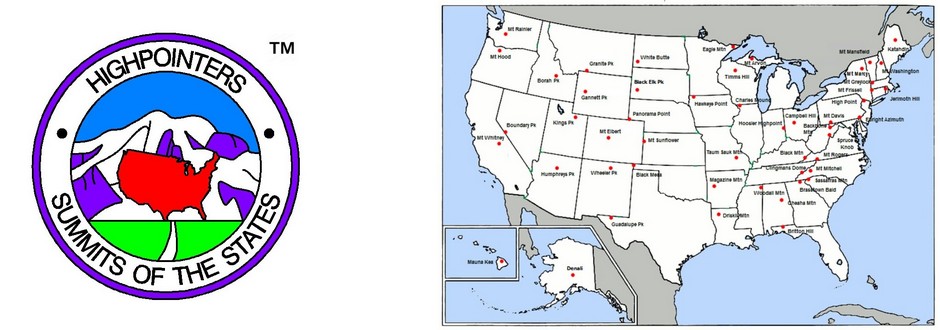
Jim Sutton passes along these directions to other highpoints to visit while visiting the Convention at Timms Hill.
DIRECTIONS TO OTHER STATE HIGHPOINTS FROM WISCONSIN CONVENTION (STONEY CREEK INN)
The directions below will get you close to the highpoint locations. For final details, please check the highpoint guides by Don Holmes, the Wingers, or Paul Zumwalt. Mileages are approximate. The routes are suggested for the most direct route, but investigate other alternatives. CAUTION: Be very alert for numerous deer on and along the highways, especially in northern areas, and especially at night. Also, moose are in MN near the HP.
TO ILLINOIS: Depart Cedar Creek Mall and turn left. Go south about ¼ mile and go under freeway overpass; take entrance ramp for southbound I-39/US51 (Exit 185). Drive south approximately 101 miles to junction with I-90/I-94. Continue south on I-90 approximately 34 miles to exit 142/267, east of Madison, at junction with US-12/US-18. Exit westbound on US-12/US-18 and continue west for 9 miles to exit 258; exit for westbound US-18/US-151. Continue west on US-151 to Platteville (66 miles). Exit southbound on WIS-80. Continue south 11 miles to County highway W. Turn left (east) towards Shullsberg (10 miles). At Shullsberg, turn south on County Highway O; in 4 miles you will be at the WI-IL border; continue south 3 miles to the town of Scales Mound. Use your guide to get to the highpoint.
NOTE: There are several alternative routes off US-151 west of Madison which will also get you to the Shullsberg area; consider WIS-59 through the Swiss village of New Glarus, or WIS-78 through Argyle as alternative scenic routes through rolling farmland.
TO MICHIGAN: Depart Cedar Creek Mall and turn left. Go south about 1/8 mile, do NOT go under the overpass, and take entrance ramp for northbound I-39/US-51 (Exit 185). Continue north 49 miles to the junction with US-8. Turn east on US-8 and continue east for 15 miles to Rhinelander. In Rhinelander go north on WIS-17 for 21 miles towards Eagle River until it intersects with WIS-70; turn right (east) for 2 miles until you enter the town of Eagle River. At the intersection with US-45/WIS-32, turn left (north), and drive 19 miles to the WI-MI border. Continue north another 27 miles to the town of Bruce Crossing, MI, and the intersection with MI-28. Turn right (east) and proceed 39 miles to the junction with US-41. Turn left (north) and drive 13 miles to the town of L’Anse. Use your guide to get to the highpoint.
TO MINNESOTA: Depart Cedar Creek Mall and turn left. Go south about 1/8 mile, do NOT go under the overpass, and take entrance ramp for northbound I-39/US-51 (Exit 185). Continue north 132 miles to the junction with US-2, just beyond Hurley, WI. Turn left (west) and proceed 93 miles to intersection with US-53. Turn right (north) and drive 15 miles through Superior, WI, cross the WI-MN border and enter Duluth, MN. (Note: the freeway section is I-535.) At exit 253, turn right (north) on I-35/MN-61. Proceed north on MN-61 for 113 miles to Grand Marais, MN. Use your guide to get to the highpoint.

 Like us on Facebook
 Follow us on Twitter
 Follow us on Instagram
 Watch us on Youtube
 Unofficial Highpointers Group
 Americasroof Forum


